Repository navigation
Wrapper for plot3d #467
Description
Description of the desired feature
Implement plot3d which "Plot lines, polygons, and symbols in 3-D". Basically a 3D version of 'plot`. Below is an example of such a 3D plot from the GMT gallery:
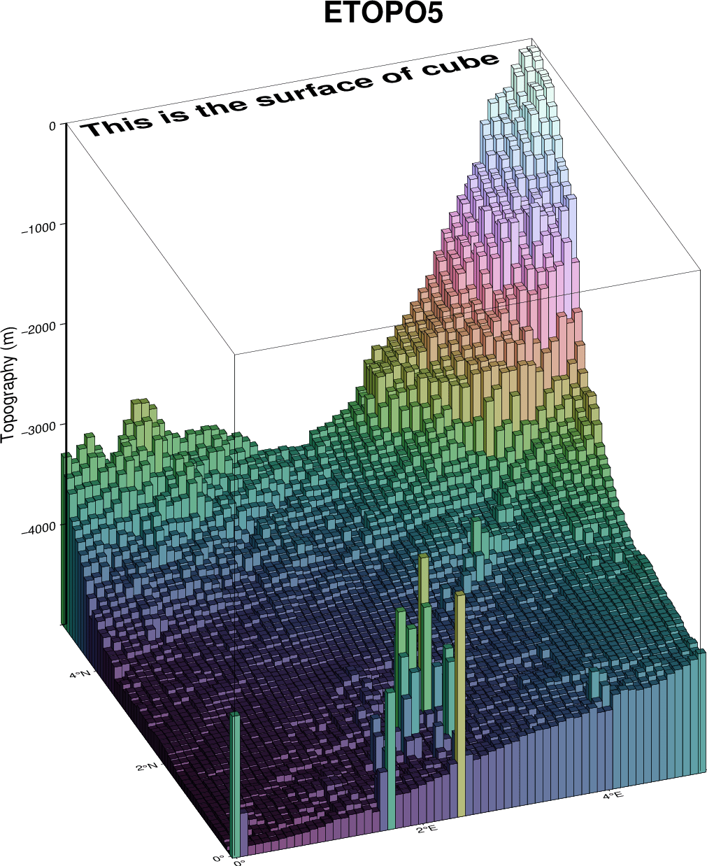
This would build upon the grdview function I last wrapped in #330, extending it to vector symbols. For example, we could plot the change in height of a DEM surface (h) along a transect line (x), over time (t)! Will be keen to get this done for some of my current satellite altimetry work 😁
Are you willing to help implement and maintain this feature? Yes
Activity